Lower Trent Conservation advises municipalities and the public that a Flood Outlook Statement remains in effect for the Lower Trent watershed region (area stretching from Grafton to Quinte West and from Lake Ontario to Rice Lake).
Rainfall recorded earlier this week at nine gauge stations located across the Lower Trent watershed region ranged from 25 to 50 mm. Runoff from rain combined with snowmelt has resulted in water levels on small creeks and streams across the watershed region to reach top of bank conditions, or slightly above, during the past several days. Levels on all these watercourses including Mayhew, Cold, Rawdon, Mill, Trout, Butler, Salt, Colborne, and Shelter Valley Creeks have now peaked and will continue to drop over the next several days.
However, water levels and flows on the Trent River have now started respond to the recent rainfall and snowmelt. Residents living along the Trent River within the municipalities of Trent Hills and Quinte West should anticipate water levels to continue an upward trend at least through the weekend and into next week. Residents should ensure their sump pumps are working and secure personal property (boats, docks, etc.) along the river bank.
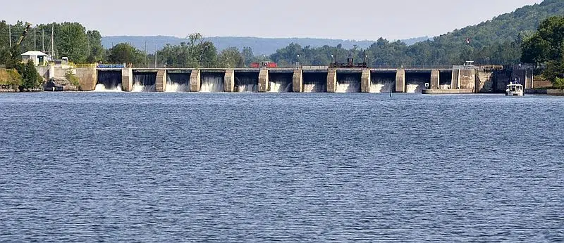
Everyone is advised to exercise extreme caution around all waterways. Strong currents pose a safety hazard to everyone. Remaining ice cover should also be considered unsafe. Parents are urged to keep children away from all waterways. Areas around water control structures should be avoided at all times.
Lower Trent Conservation monitors water levels and weather forecasts closely as part of its flood forecasting and warning program. Daily water level updates are available at www.ltc.on.ca. If you have concerns about water levels, please contact Lower Trent Conservation at (613) 394-4829.
This Flood Outlook Statement will be in effect until Tuesday, February 27, 2018 and will be updated sooner if conditions warrant.


